Hiking King Creek Ridge Trails in Kananaskis Country

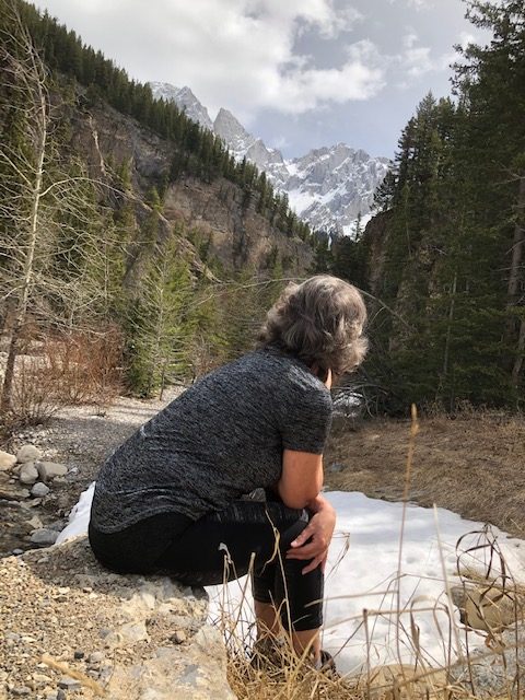
We came across King Creek by accident on our way to Ptarmigan Cirque. Turned out that hike was closed and had to turn around at the Kananaskis Lake entrance. Noticed a few cars parked along the road leading to a trail that led to a sunny spectacular mountain range. There was no visible sign of the name of the hike where we were so we did what hikers do best, wing it and just start walking, and that is what we did?
We were unsure of a trail heading up the creek bed so we decided to take the path that other hikers were taking. Turned out this trail was the actual Ridge Trail. We later realized, later on, there was also a trail up the canyon creek bed.
King Creek Ridge Trail
King Creek Trail is a 7.1 km return trail leading up to a spectacular mountain view lookout. The trail itself is well-trafficked however rated difficult due to being very narrow, steep elevation, and the uneven terrain in areas.
Being only the third hike of the year it proved a bit much for my lungs due to the steepness so the 4 of us headed back after about 2 km in. Not to mention, word of a black bear mom with cub spotted just ahead made the decision to turn easier. Unfortunately, sad to not hike it through, we were unable to view the spectacular mountain range at the top. To see some great shots this Blogger Bob Spirko has some great shots of this hike.
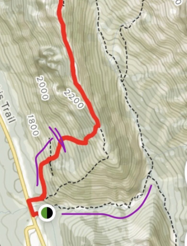
From the look of the map it looks as though one can continue on down the backside leading up to the actual creek back to trail-head. Not sure how long that would be but I could imagine it being a fabulous hike.

In purple is as far as we made it up the ridge and the distance up the creek we hiked
King Creek Canyon Trail

Once we descended from the ridge trail I was drawn to the canyon view. We starting walking below the ridge to the creek crossing over the water where we come to realize the actual trail-head at the parking lot that was then closed for the season. Excitement grew as I love walking up creeks.
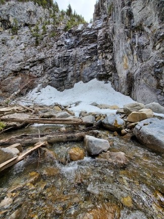
The canyon hike is around 3 km one -way. Hiking further is possible however in May the snow gets deeper in areas. The weeping wall seemed to the endpoint for most as it looked pretty sketchy further on.
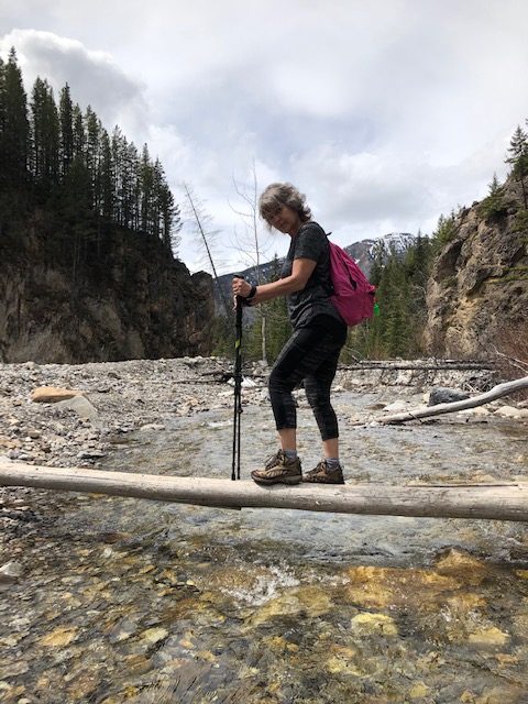
The hike was phenomenal as the water features proved more and more spectacular with every water crossing. Some of the crossings were challenging but rewarding. We all had fun walking on these two logs that were very bouncy creating some laughter. The rock formations were stunning as well.

At the halfway mark you will find the water features pictured above. I urge you to walk in this area as it is so surreal. Just a quiet area full of water is simply mesmerizing.

I highly recommend this hike and enjoy it as much as my family did. Maybe when this old lady gets stronger I will try the ridge hike again and finish it. lol
Happy Hiking!!


